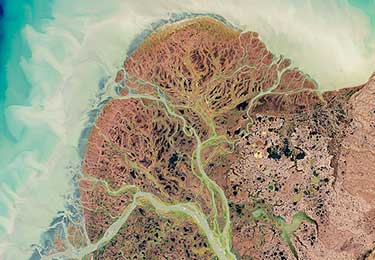
Image source: Yukon Delta, Alaska by NASA's Earth Observatory / CC BY 2.0
This sample assessment is based on previous versions of the Australian Curriculum.
Investigating landscapes
Description
Students:
- develop a collection of work in class to demonstrate your knowledge, understanding and skills about landscapes and landscapes
- use a range of sources to complete a series of learning projects
- a labelled sketch (from a photograph) of one landscape and specific landforms
- a special purpose map (that you have created) showing the distribution at a global scale of one type of landform with a description, including examples
- an annotated photograph (or sketch) of a landform model you have created to explain the geomorphological processes evident
- a labelled diagram of the geomorphological hazard and a map showing the distribution of where this hazard occurs. Annotate map with a case study summary
- an explanation of an artwork of a landscape or landform by an Aboriginal or Torres Strait Islander artist
- a supported explanation and analysis of a specific land degradation issue
- a fact sheet with labelled map about one of Australia's natural World Heritage sites.
Multimodal and written/spoken: Collection of work
Contents:
- Teacher guidelines
- Task-specific standards: Continua
- Task-specific standards: Matrix
- Assessment resource: Identifying landscapes and their landforms
- Assessment resource: Geomorphic processes in action
- Assessment resource: Geomorphological hazards
- Assessment resource: Connecting landforms to Country/Place
- Assessment resource: Land degradation
- Assessment resource: Protecting significant landscapes
- Assessment resource: Glossary of geographical terms
- Student booklet
Download the full assessment (contains the documents as Word files):


